Garmin eTrex 22x Bruksanvisning
Les nedenfor 📖 manual på norsk for Garmin eTrex 22x (18 sider) i kategorien GPS-enhet. Denne guiden var nyttig for 21 personer og ble vurdert med 4.8 stjerner i gjennomsnitt av 11 brukere
Side 1/18
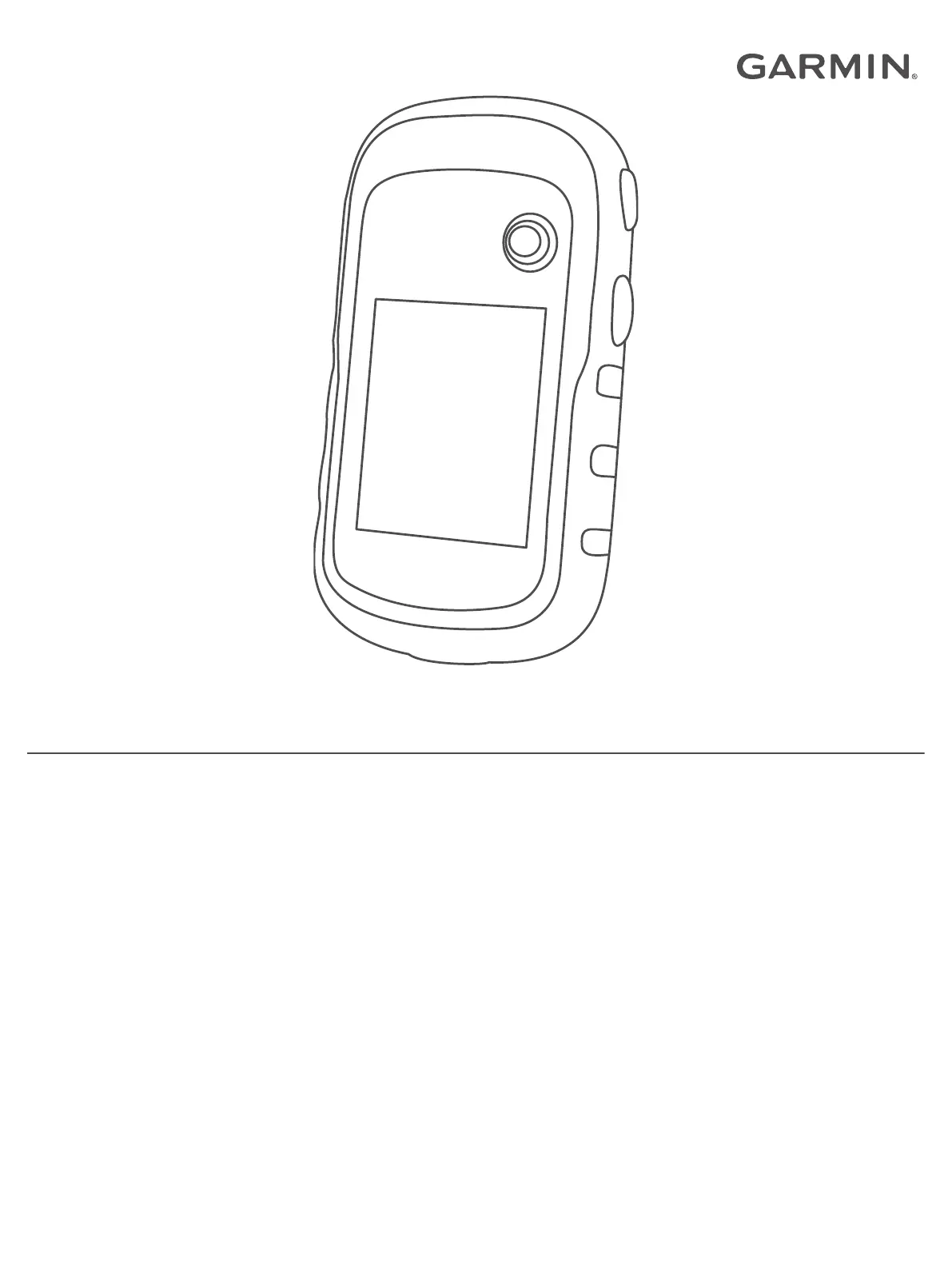
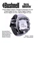
ETREX
®
22X/32X
Owner’s Manual
Produkspesifikasjoner
| Merke: | Garmin |
| Kategori: | GPS-enhet |
| Modell: | eTrex 22x |
| Produkttype: | GPS-sporing |
| Innebygd skjerm: | Ja |
| Vekt: | 141.7 g |
| Bredde: | 54 mm |
| Dybde: | 103 mm |
| Høyde: | 33 mm |
| Bluetooth: | Nei |
| Berøringsskjerm: | Nei |
| RAM-kapasitet: | 8000 MB |
| Intern lagringskapasitet: | 8 GB |
| Elektronisk kompass: | Nei |
| USB-port: | Ja |
| USB-kontakttype: | Mini-USB |
| Strømkildetype: | Batteri |
| Skjermteknologi: | TFT |
| Innebygd kamera: | Nei |
| USB-tilkobling: | Ja |
| Innebygd minnekapasitet: | 8 GB |
| Sport: | Ja |
| Antenne: | Innvendig lys |
| Bildeviser: | Ja |
| Innebygd minne: | Ja |
| Batteritype: | AA |
| Informasjon om sol og måne: | Ja |
| Barometrisk høydemåler: | Ja |
| Utendørs: | Ja |
| Geocaching: | Ja |
| Auto: | Nei |
| Sykkel: | Ja |
| Motorsykkel: | Nei |
| Lastebil: | Nei |
| Golf: | Nei |
| Veipunkter: | Ja |
| Skjermoppløsning: | 240 x 320 piksler |
| Utskiftbart batteri: | Ja |
| Produktfarge: | Black, Grey |
| Antall støttede batterier: | 2 |
| Minnekortenhet: | MicroSD (TransFlash) |
| Skjermdiagonal: | 2.2 " |
| Batteriliv (maks.): | 25 timer |
| Kabler inkludert: | USB |
| Hurtigstartsguide: | Ja |
| Beskyttelsesfunksjoner: | Vannbestandig |
| Formfaktor: | Håndholdt |
| Skjermstørrelse (HxV): | 35 x 44 mm |
| Internasjonal beskyttelses (IP)-kode: | IPX7 |
| Marine: | Nei |
| Display antall farger: | 65536 farger |
| Display: | TFT |
| Formål: | Personlig |
| Lett å bruke: | Ja |
| Skjerm med bakgrunnsbelysning: | Ja |
| Flyteknikk: | Nei |
| Traffic Message Channel (TMC): | Nei |
| Live-tjeneste: | Ja |
| Bredskjerm: | Nei |
| Minnekort-innstikk: | Ja |
| Antall rutere: | 200 |
| Antall Waypoints (veipunkter): | 2000 |
| Basekart: | Ja |
| Jakte/fiske-kalender: | Ja |
| Spormengde: | 10000 |
| Antall Tracklog-punkter (sporingsloggpunkter): | 200 |
| Campingvogn: | Nei |
| Områdeberegning: | Ja |
| Ruteavvik: | Ja |
| Kan legge til kart: | Ja |
| Forhåndsinstallerte kart: | TopoActive Europe |
| Uttagbart batteri: | Ja |
| Mini-USB 2.0-porter antall: | 1 |
| Interessepunkter: | Ja |
| Tekst-til-tale-meldingsoppleser: | Nei |
Trenger du hjelp?
Hvis du trenger hjelp med Garmin eTrex 22x still et spørsmål nedenfor, og andre brukere vil svare deg
GPS-enhet Garmin Manualer
10 Oktober 2025
8 August 2025
4 August 2025
4 August 2025
4 August 2025

4 August 2025
4 August 2025
4 August 2025

22 Februar 2025

10 Januar 2025
GPS-enhet Manualer
- First Alert
- Fysic
- Uniden
- Kogan
- Amcrest
- Lantronix
- Navilock
- Cobblestone
- Dual
- GlobalSat
- Lezyne
- Trackilive
- Bushnell
- Teltonika
- Alpine
Nyeste GPS-enhet Manualer

20 Oktober 2025

30 September 2025
30 September 2025
28 September 2025
26 September 2025
26 September 2025
26 September 2025
25 September 2025
25 September 2025
25 September 2025